

BetterHolmes Co.

Better
property
intelligence.

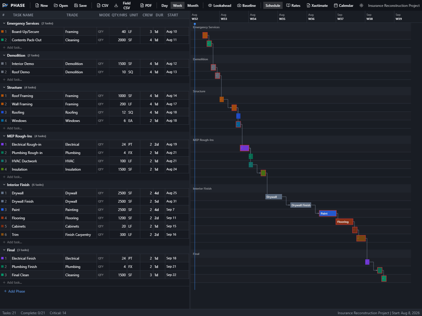
Practical field documentation software — pin photos to floor plans with FotoLedger, schedule the work with PHASE, and turn site activity into project records teams can actually use.

PlanCaptureDocumentSee all solutions →
Inspection · Site 412
Surveyed
24,830 ft²
Findings
37
Penetration
Equipment
Material
What we build

Capture.
Map.
Report.

Three things, done well: get the site documented on the plan, map what matters where it happened, and get a report — a clear project record — out the other end.

01 Capture

Spatial Documentation

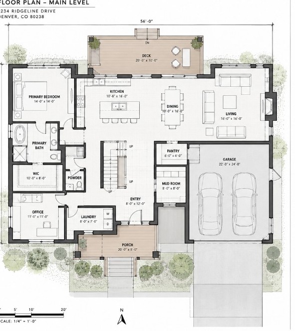
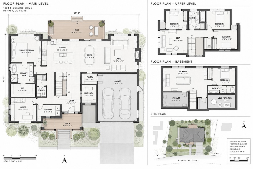
Pin photos, PDFs, and notes to floor plans, roof plans, and site maps — field photo reports and site documentation that hold up, not another camera-roll folder.

02 Mapping

Spatial Mapping

Pin conditions, readings, and observations to a plan. Roofs, moisture, layouts — anchored to where they actually are.

03 Output

Reports & Project Records

Client-ready photo reports with a spatial trail — field activity turned into project records people can actually use and hand off.

Flagship

Photo reports and
site documentation.

FotoLedger is a free photo report web app — mobile-friendly in the browser. Pin field photos to the plan and export client-ready PDF site documentation for restoration and insurance claims.

F / 01LiveSpatial Documentation Platform

FotoLedger

Pin photos, PDFs, and notes to the plan. Export a defensible trail.

Our flagship photo report and site documentation web app, now in V2 — works in the browser and is built to be mobile-friendly on phones and tablets in the field. Pin photos to floor plans (or roof plans and site maps) with waypoints, attach PDFs and notes at each location, and export a client-ready PDF for construction photo documentation, restoration, and insurance claims. Work locally with no account, or sign in for cloud projects and sync across devices — free while we grow. Native mobile apps for site capture are on the roadmap.

  • Browser-based web app — mobile-friendly for field use
  • Pin photos to floor plans, roof plans, and site maps
  • Field photos, PDFs, and notes attached at each location
  • Cloud projects, sync, and sharing — or fully local
  • Client-ready PDF photo reports with the spatial trail
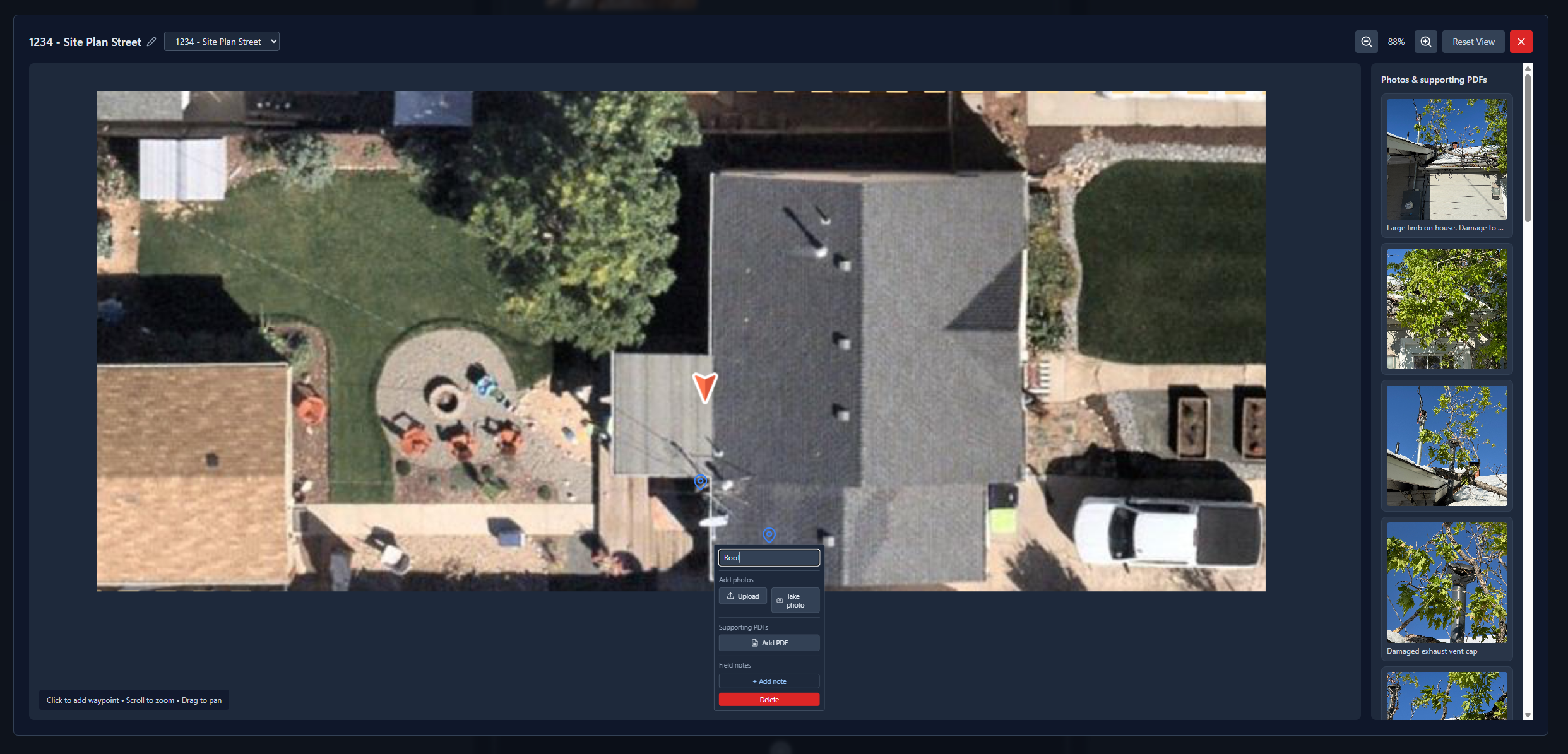
FotoLedger interface preview
Proof, not promises
Real jobs, every week

FotoLedger documents live restoration and construction jobs weekly — spatial photo reports that go to real clients and adjusters, not demo data.

Built from the field

Every product started as a problem on an actual job — spatial docs, schedules, surveys — not a feature list that looked good in a pitch deck.

No logo-cloud theater

No borrowed logos, no invented stats. Every tool is free to try or open to preview — judge the work by the output it produces on your own project.

Work with us

Got a problem the tools don't cover? We take on documentation strategy and custom builds, too.

Documentation strategy

Sort out how your team captures, organizes, and bills the work — with someone who has been on both sides of the paperwork.

Custom software

You know the problem in your shop better than anyone. Bring the idea; we turn it into a tool that works.

Why we build

Bad documentation costs real money — and it's everywhere in this industry.

The fixes are tools you can actually use on a job — not another camera roll, not bloated contractor software. We build the version we wanted ourselves.

If you've ever rebuilt a report from someone else's blurry photos, missing notes, and no idea which room was which, you already get it.

Read the full story
Start a conversation

Have a documentation
problem worth fixing?